1 / 6
+1
New England Regional Area Wall Map
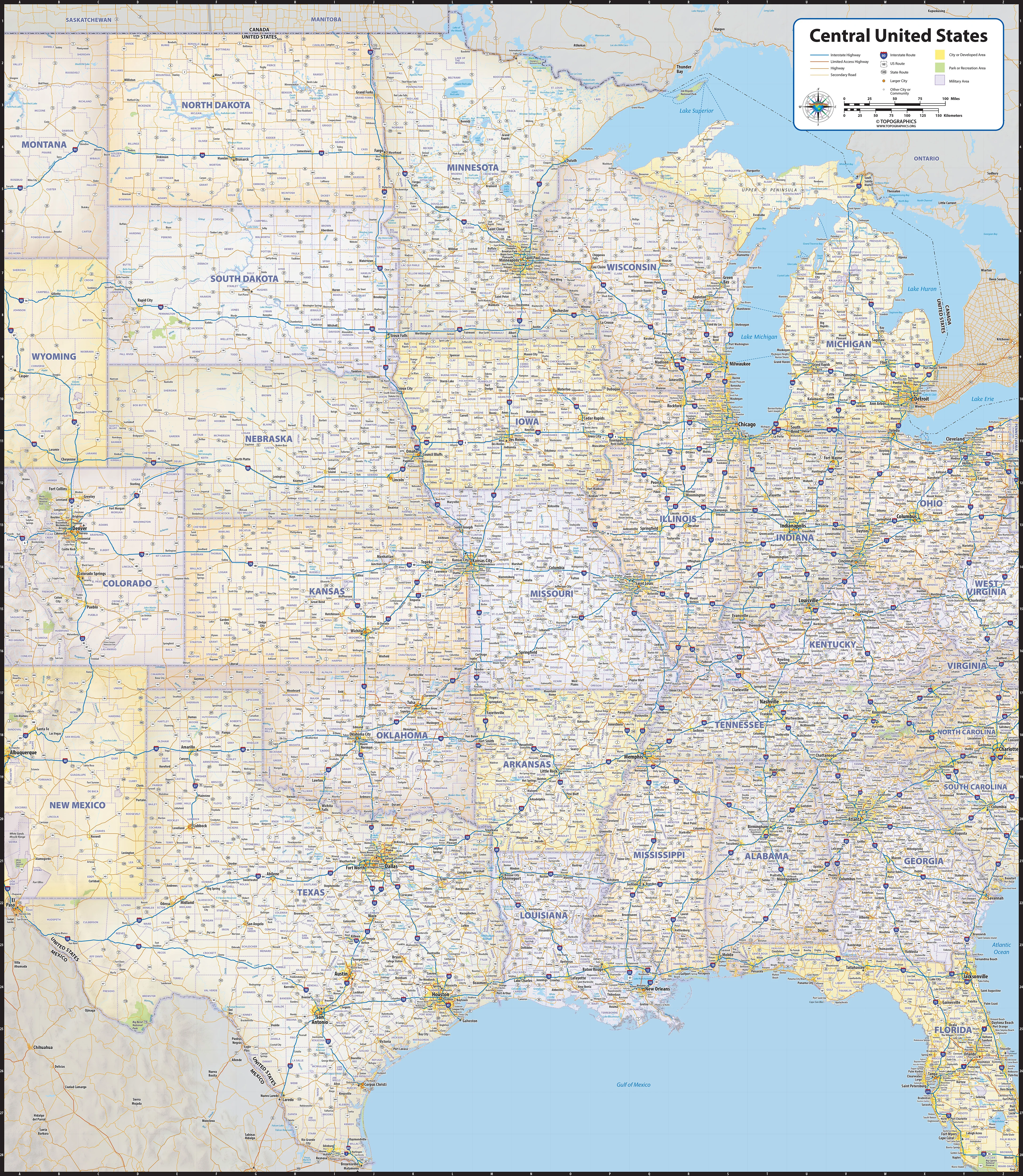
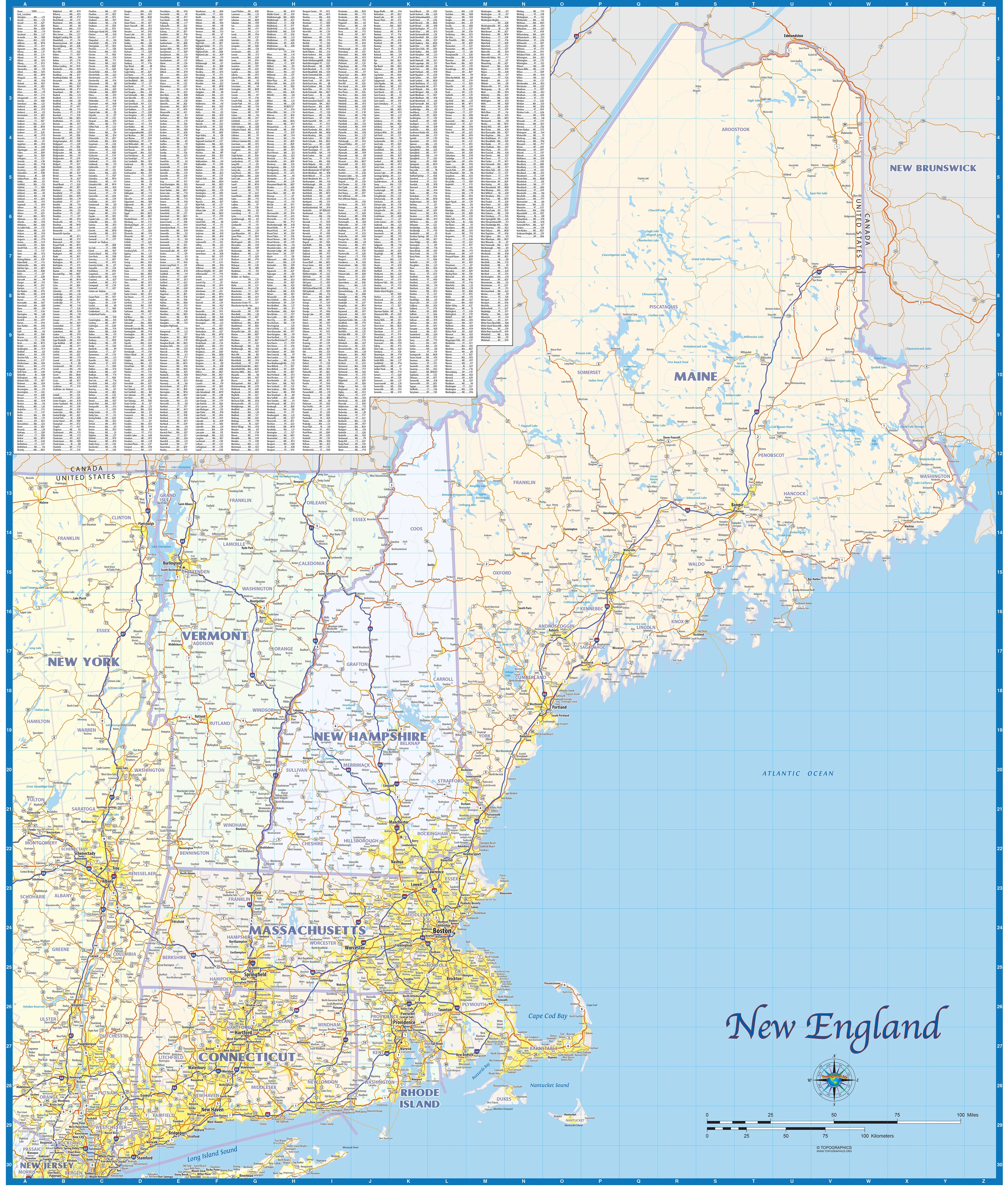
Regional road map covering the 6 New England states - Maine, Vermont, New Hampshire, Massachusetts, Connecticut, and Rhode Island. Features shown are cities, counties, major roads and highways. A city index is included.
This map comes in a variety of sizes and finishing options. It is shipped rolled in a sturdy cardboard tube.
Select Size
Select Material
From $27.98
Original: $79.95
-65%New England Regional Area Wall Map—
$79.95
$27.98Description
Regional road map covering the 6 New England states - Maine, Vermont, New Hampshire, Massachusetts, Connecticut, and Rhode Island. Features shown are cities, counties, major roads and highways. A city index is included.
This map comes in a variety of sizes and finishing options. It is shipped rolled in a sturdy cardboard tube.