1 / 6
+1
Central USA Wall Map
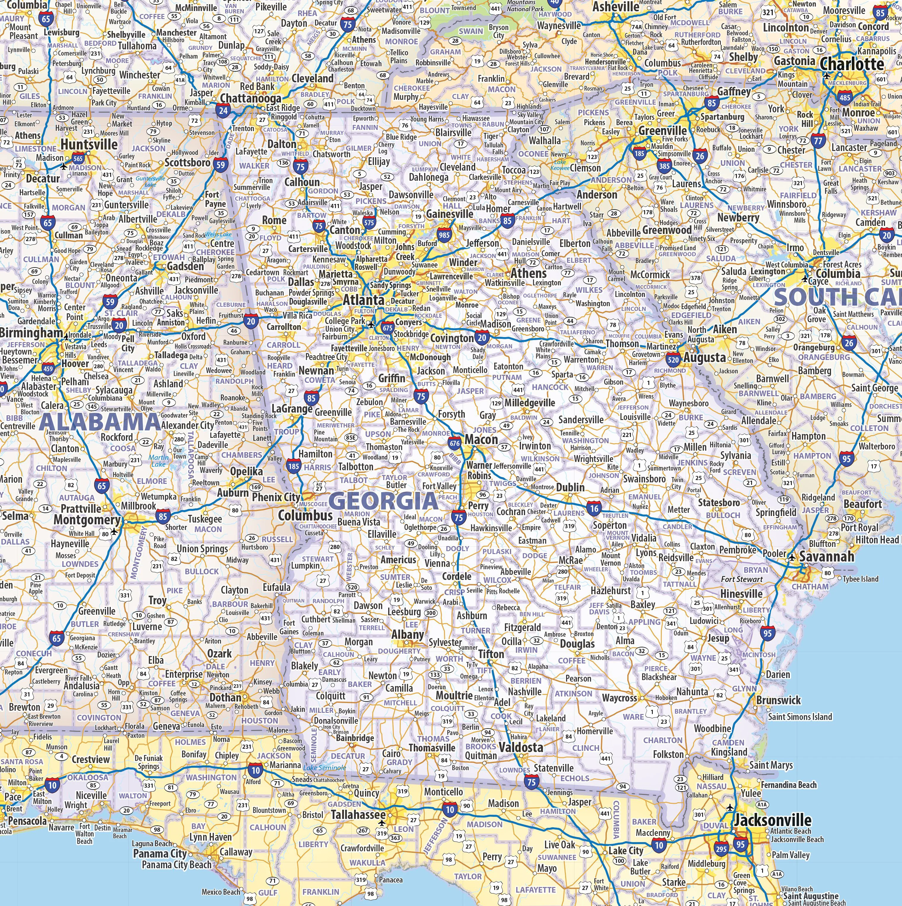
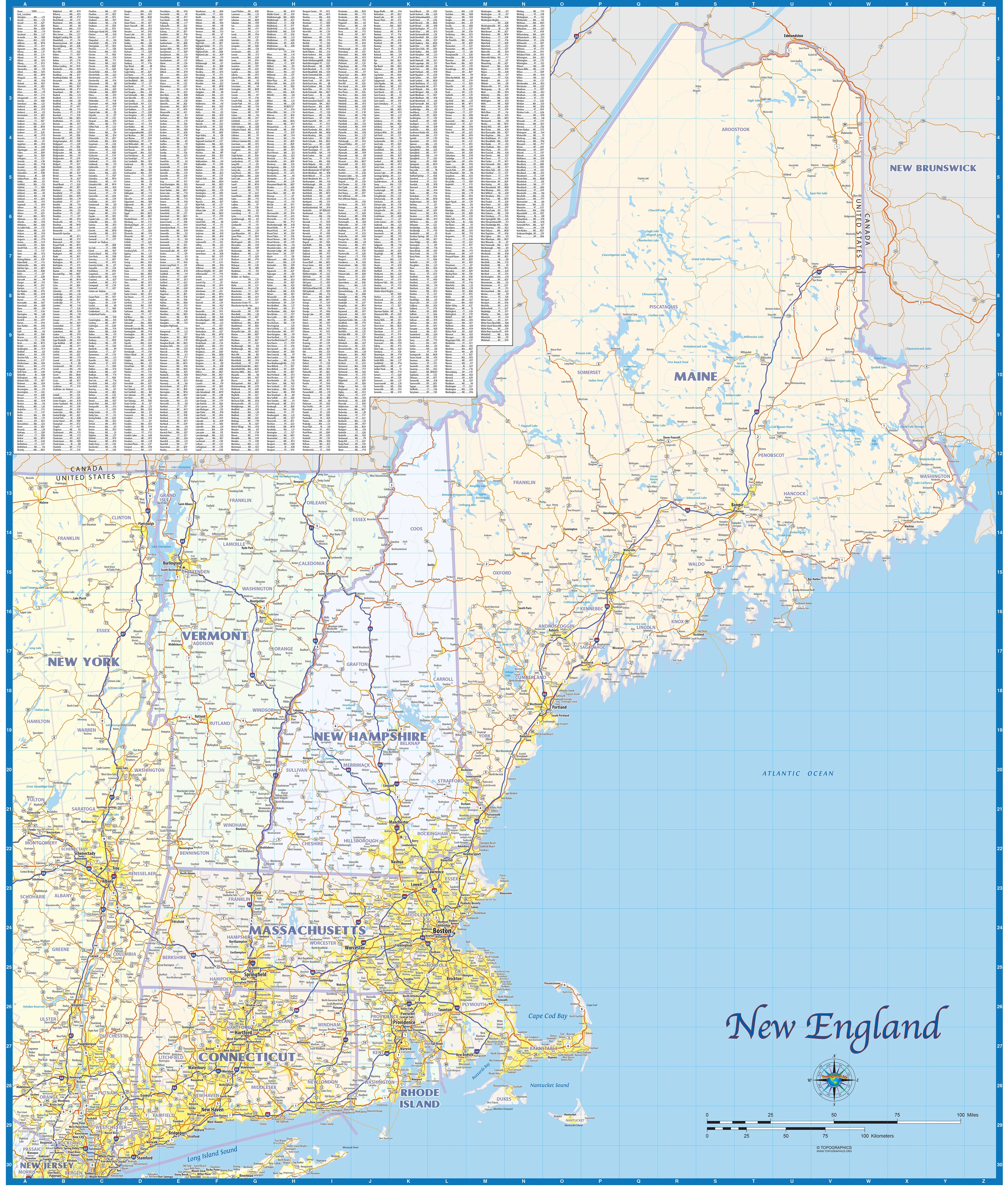
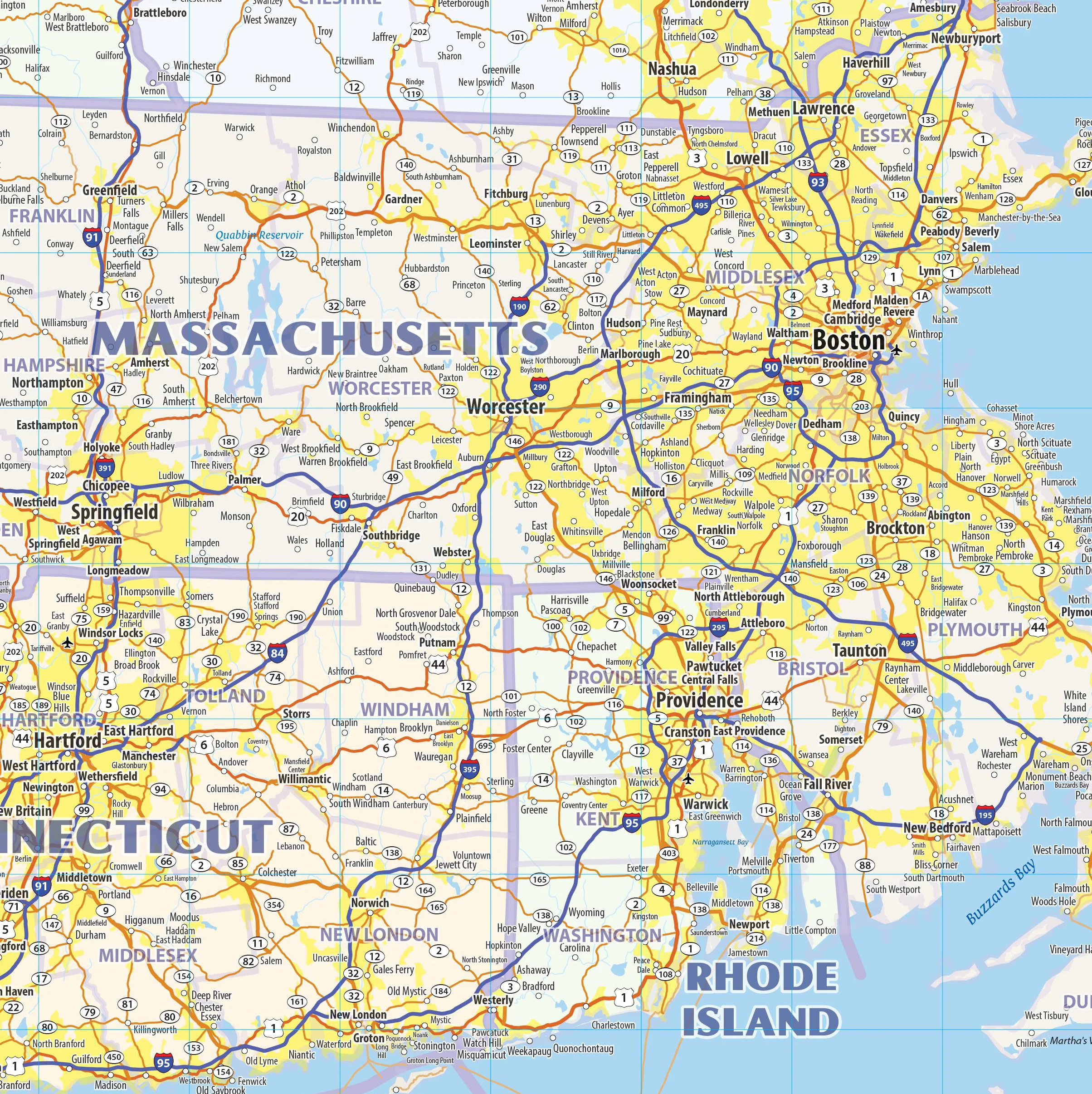
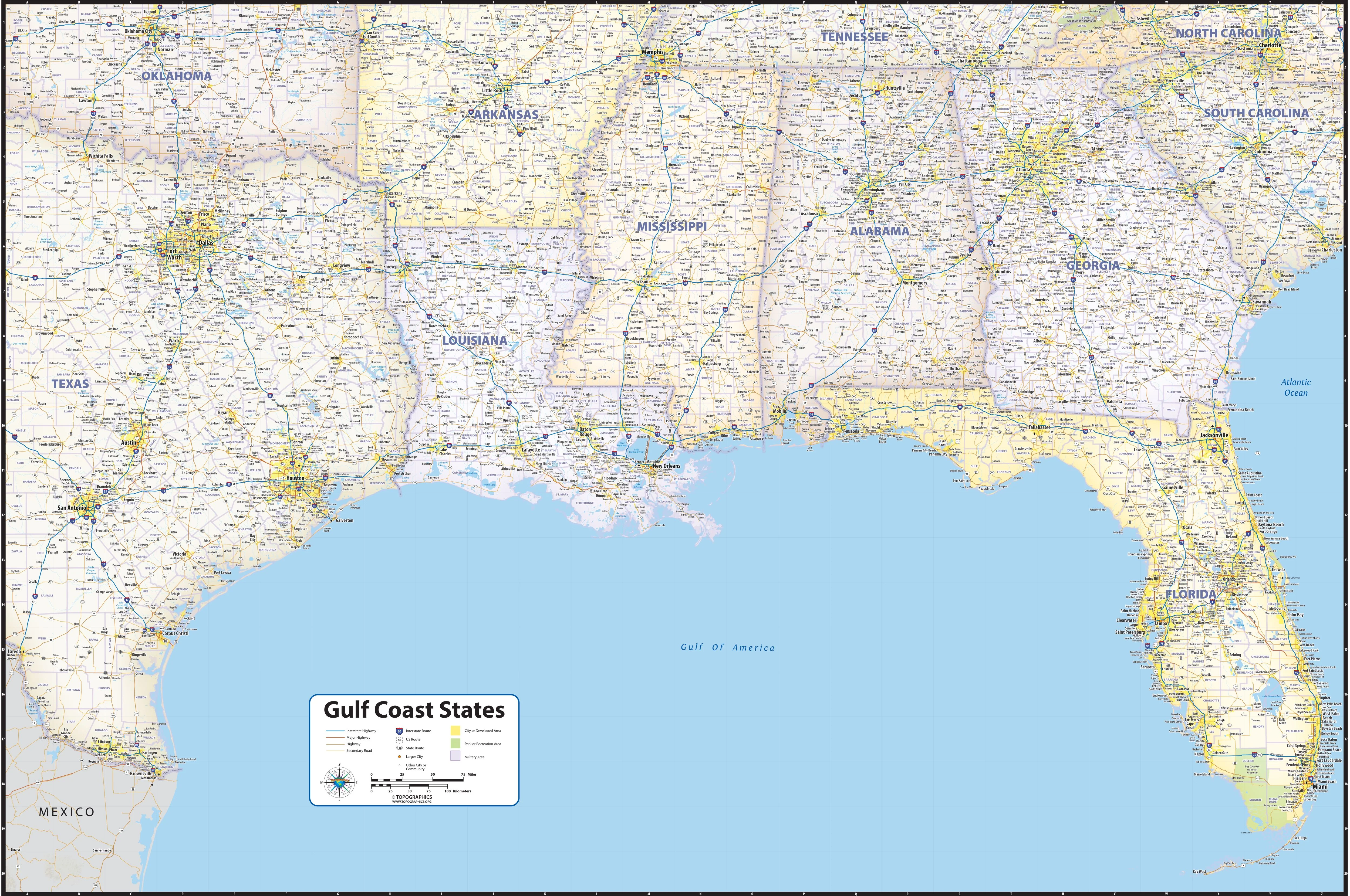
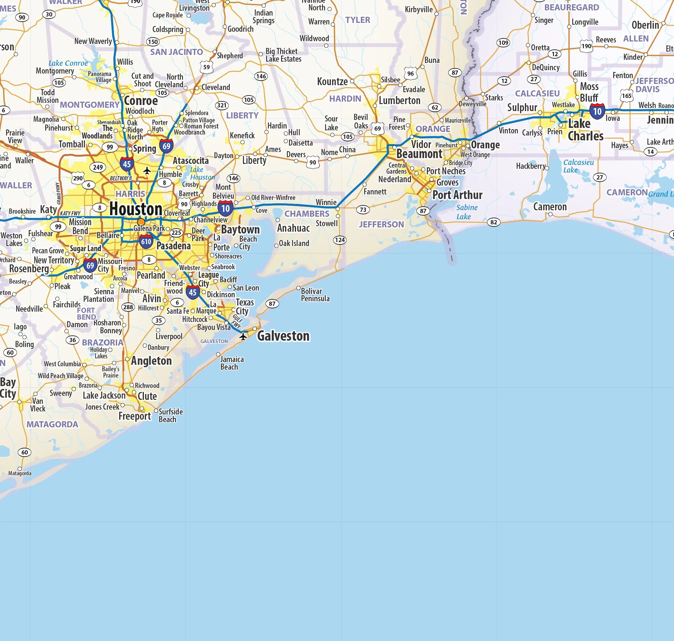
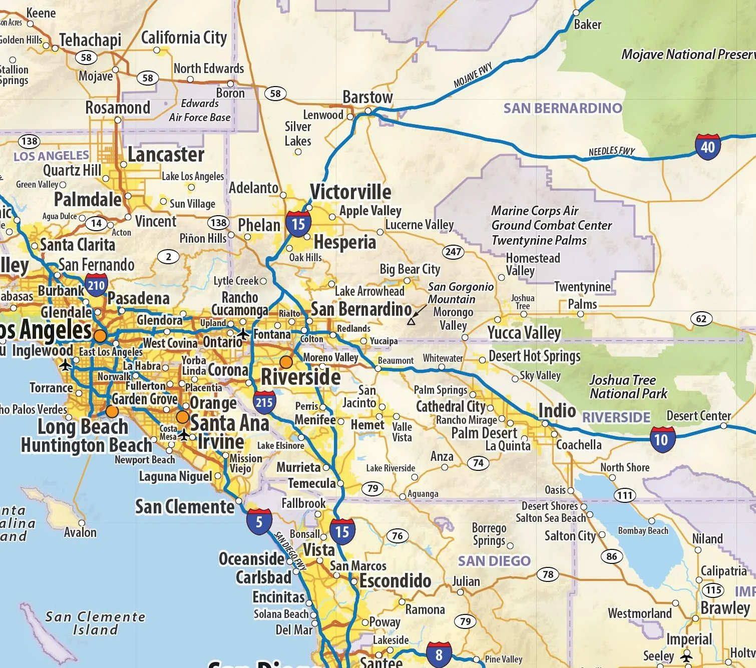
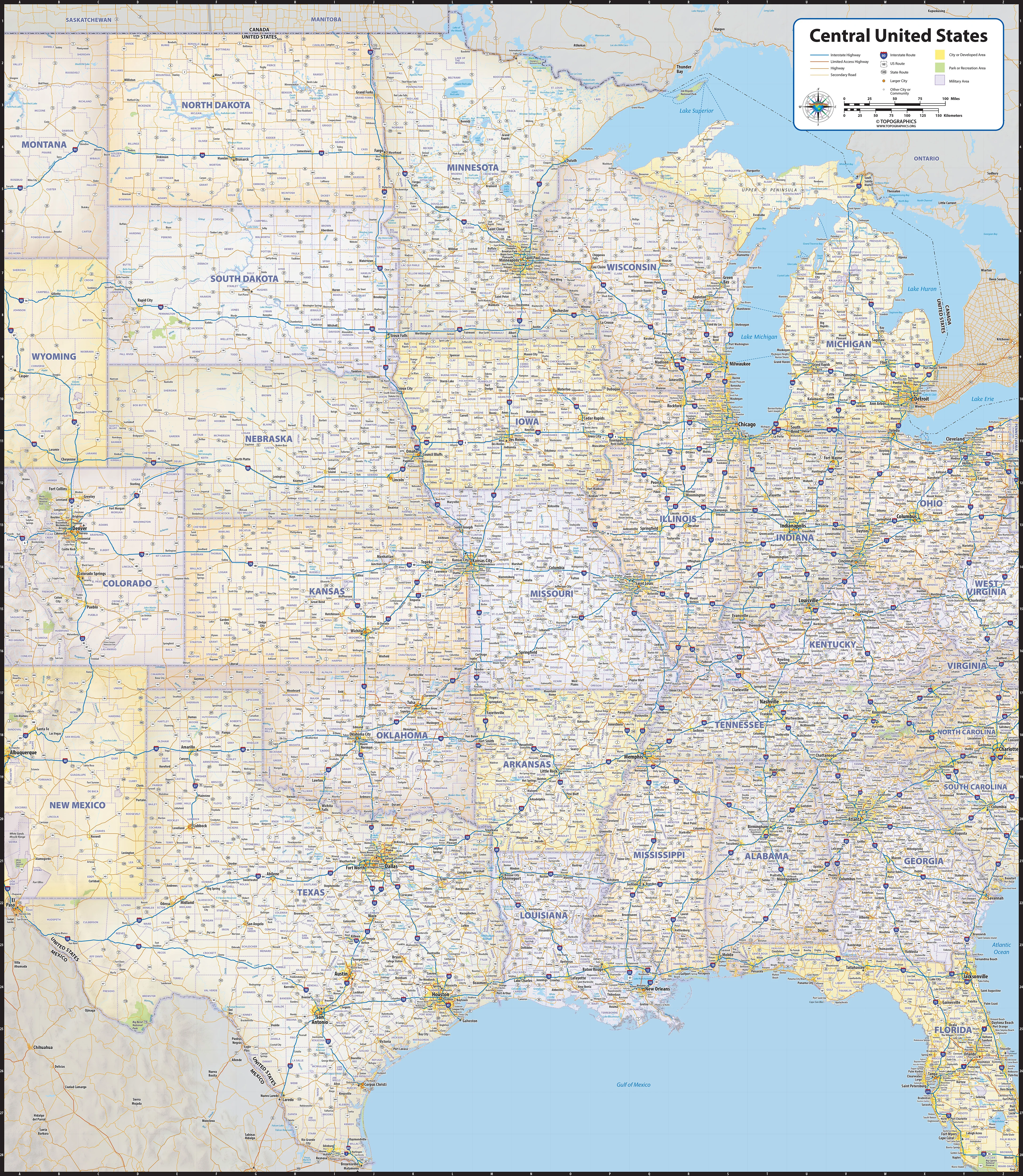
Our Central United States regional wall map shows the states of North Dakota, South Dakota, Nebraska, Kansas, Oklahoma, Texas, Minnesota, Wisconsin, Iowa, Missouri, Arkansas, Louisiana, Michigan, Illinois, Indiana, Ohio, Kentucky, Tenessee, Mississippi, Alabama, and Georgia. Features shown include states, cities, towns, counties, and major highways. The entire 21 state area from the Rockies to the Appalachians, and from the Canadian border to the Gulf of Mexico is shown.
This map comes in a variety of sizes and finishing options. It is shipped rolled in a sturdy cardboard tube.
Select Size
Select Material
From $27.98
Original: $79.95
-65%Central USA Wall Map—
$79.95
$27.98Description
Our Central United States regional wall map shows the states of North Dakota, South Dakota, Nebraska, Kansas, Oklahoma, Texas, Minnesota, Wisconsin, Iowa, Missouri, Arkansas, Louisiana, Michigan, Illinois, Indiana, Ohio, Kentucky, Tenessee, Mississippi, Alabama, and Georgia. Features shown include states, cities, towns, counties, and major highways. The entire 21 state area from the Rockies to the Appalachians, and from the Canadian border to the Gulf of Mexico is shown.
This map comes in a variety of sizes and finishing options. It is shipped rolled in a sturdy cardboard tube.