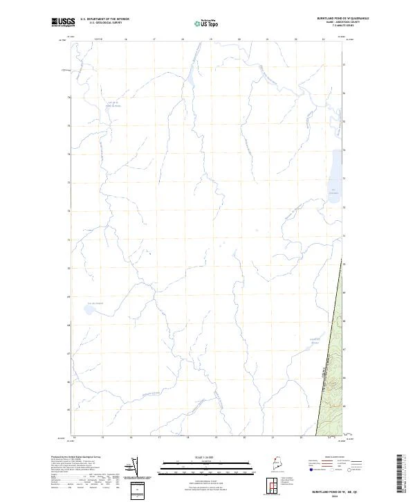
US Topo 7.5-minute map for Burntland Pond OE W MEQC
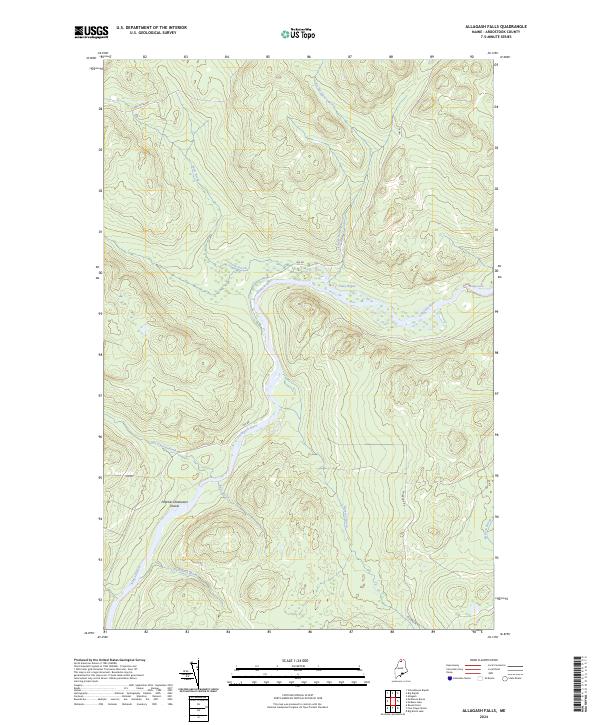
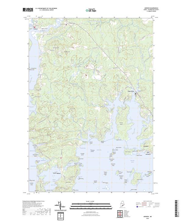
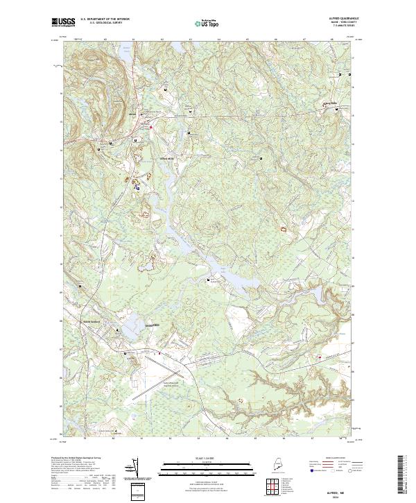
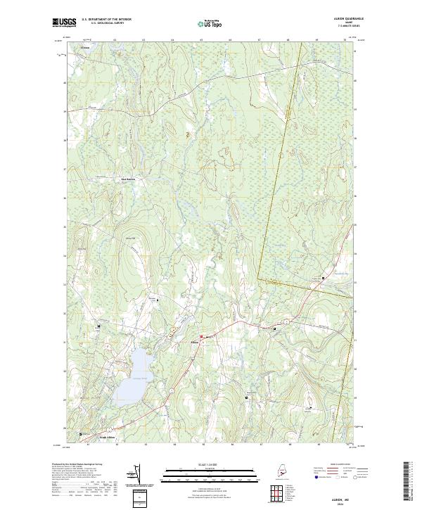
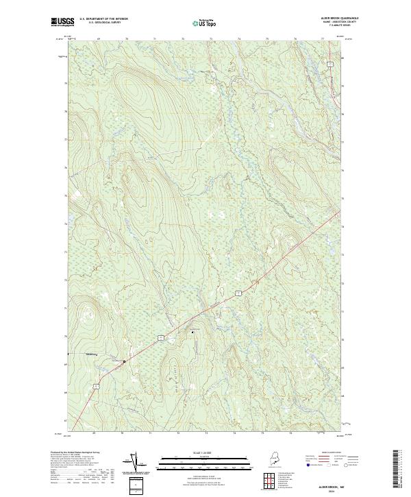
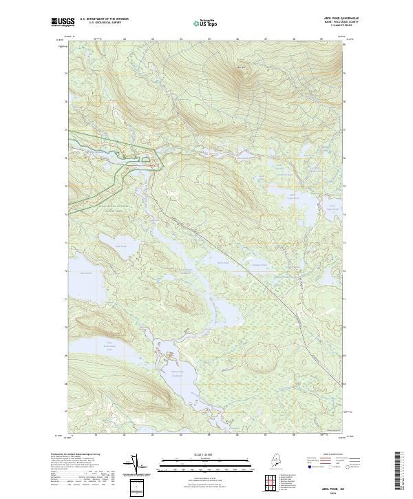
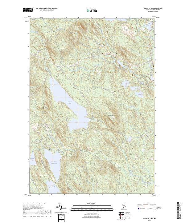
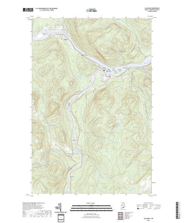
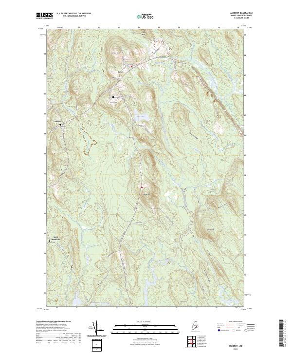
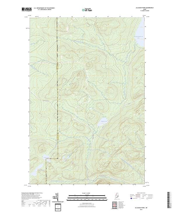
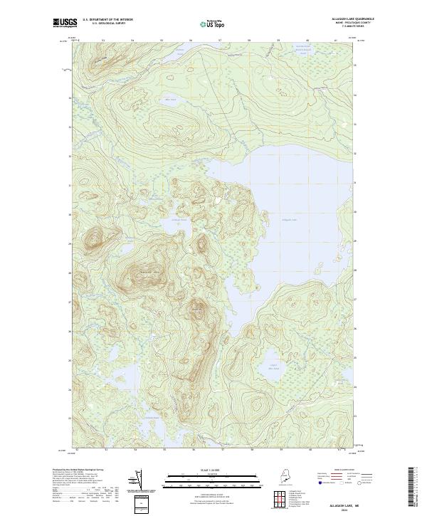
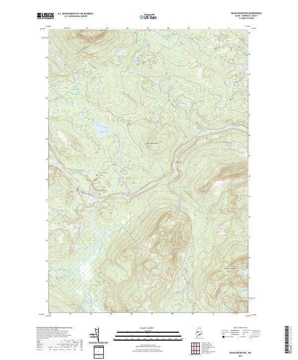
This is the current USGS topographic map for this quadrangle. Printed on waterproof, crease resistant paper, using HP fade resistant inks, this map comes rolled and shipped in a sturdy carboard tube. The map contains contour data, water features, roads and other features. Scale is 1:24,000. Printed size is 24" W x 29" H
This is the current USGS topographic map for this quadrangle. Printed on waterproof, crease resistant paper, using HP fade resistant inks, this map comes rolled and shipped in a sturdy carboard tube. The map contains contour data, water features, roads and other features. Scale is 1:24,000. Printed size is 24" W x 29" H
$8.73
Original: $24.95
-65%US Topo 7.5-minute map for Burntland Pond OE W MEQC—
$24.95
$8.73Description
This is the current USGS topographic map for this quadrangle. Printed on waterproof, crease resistant paper, using HP fade resistant inks, this map comes rolled and shipped in a sturdy carboard tube. The map contains contour data, water features, roads and other features. Scale is 1:24,000. Printed size is 24" W x 29" H