1 / 6
+1
Spokane Coeur d'Alene Area Wall Map
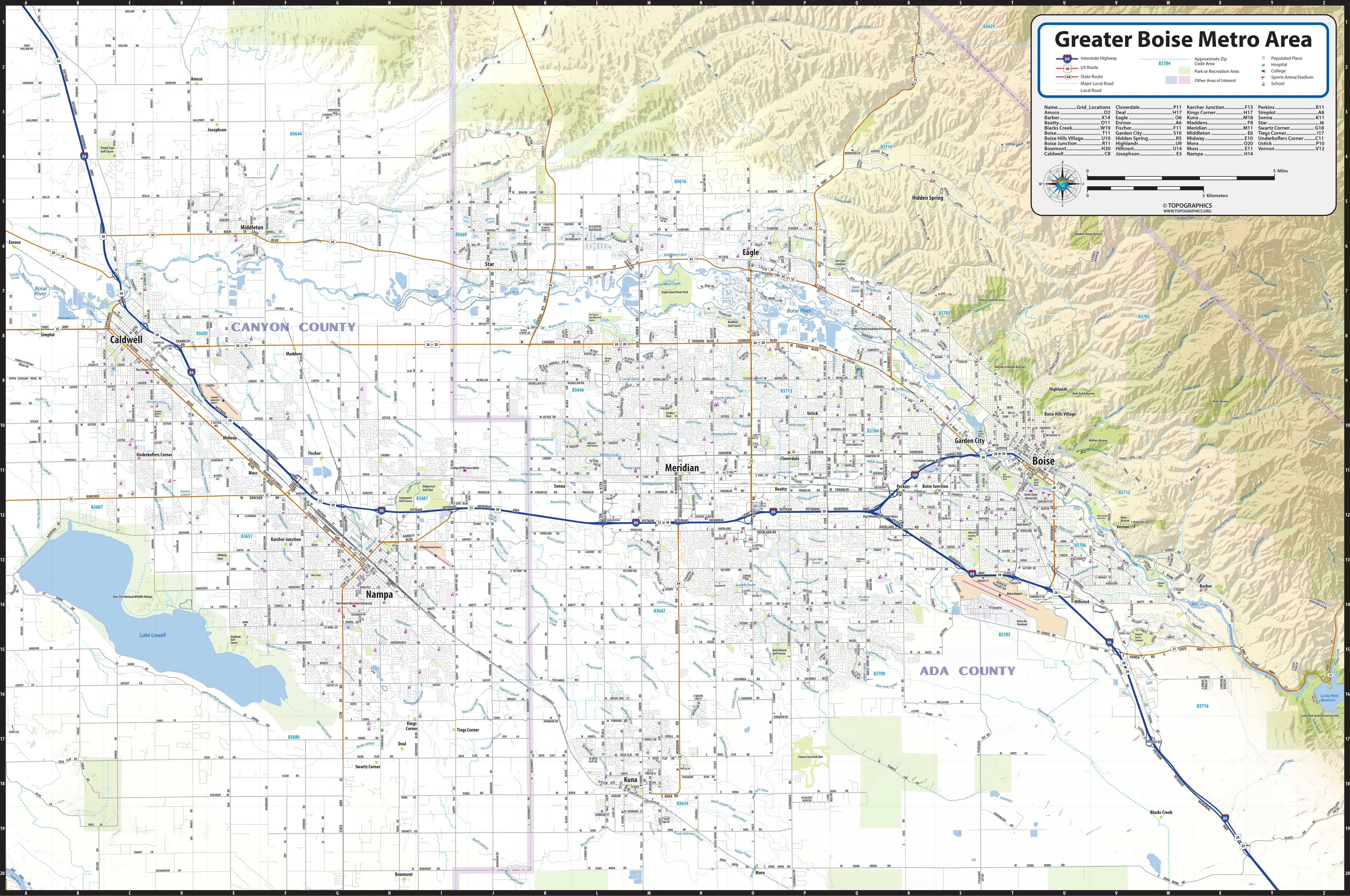
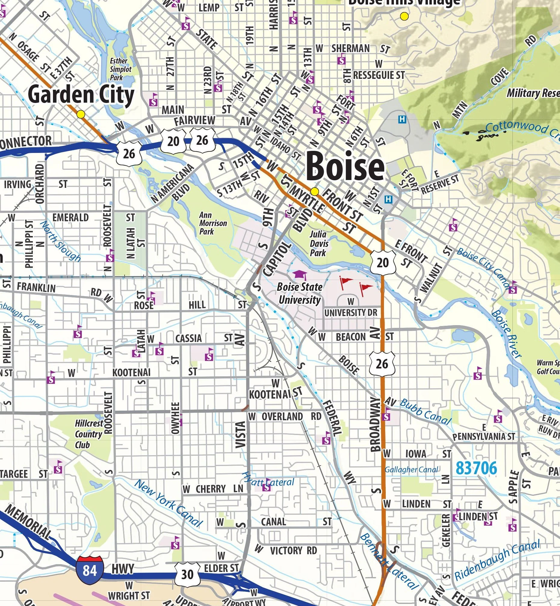
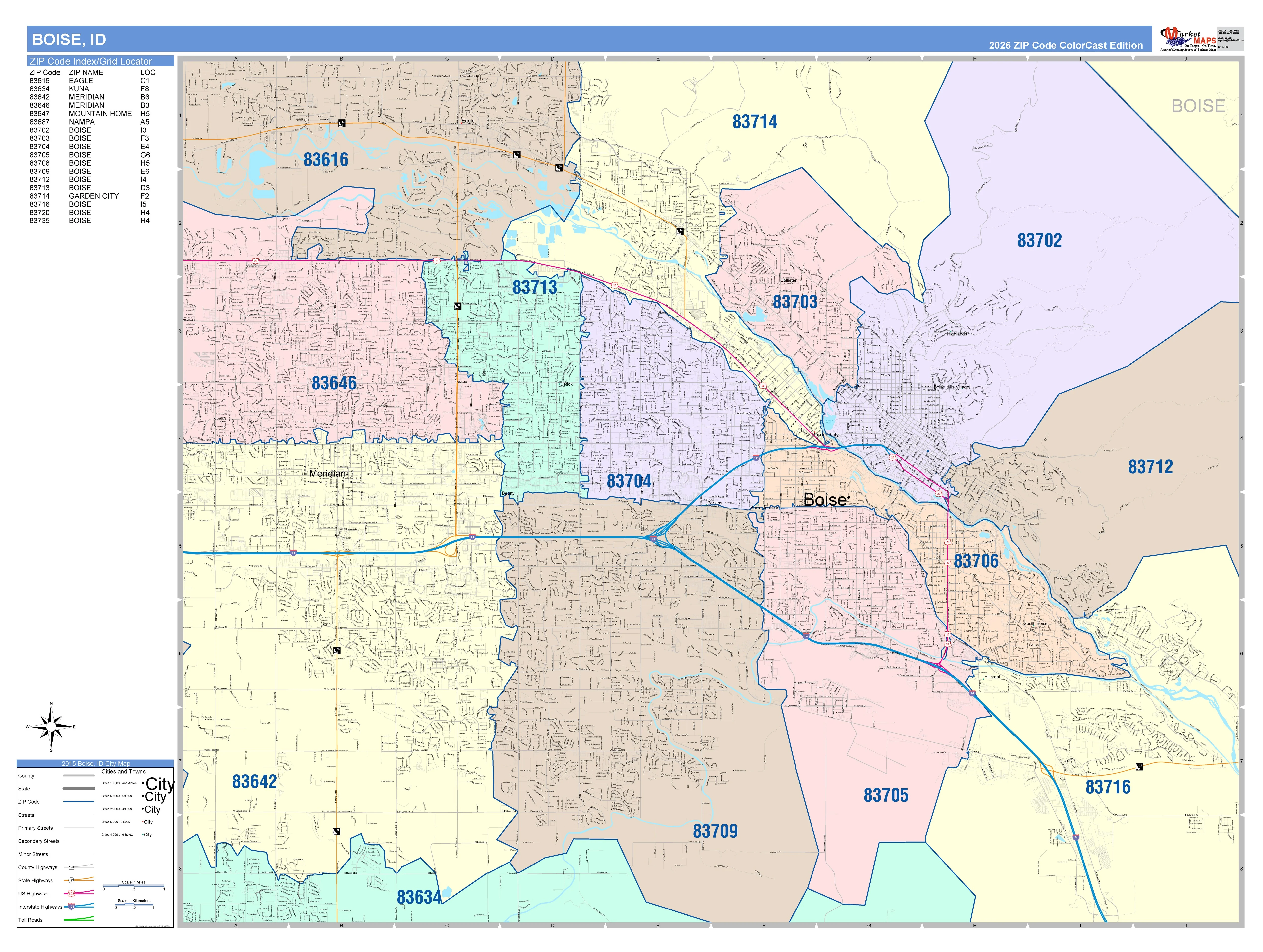
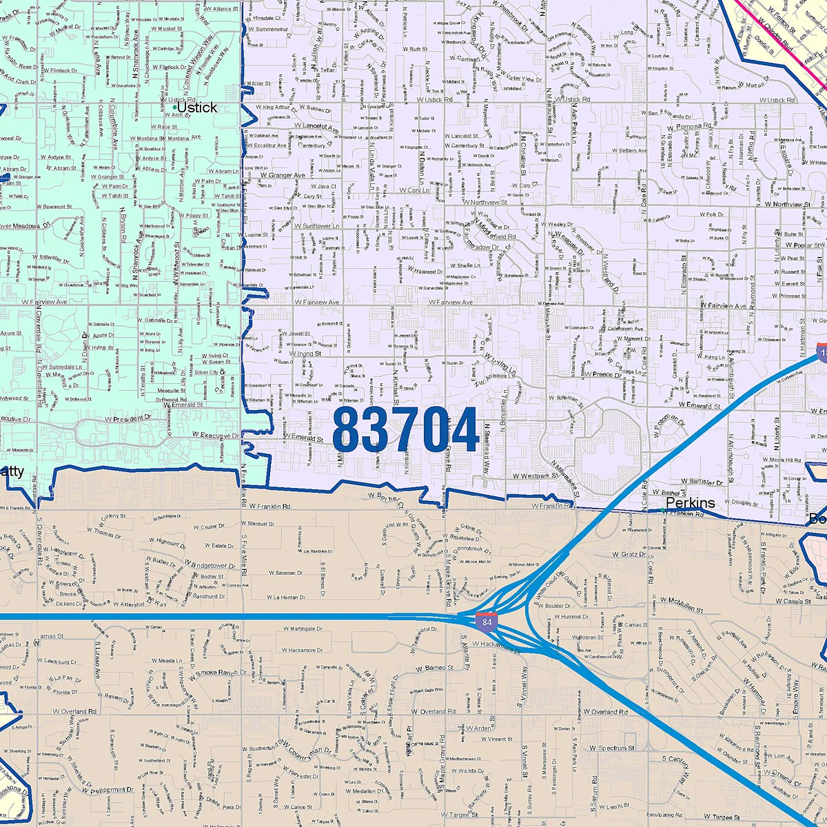
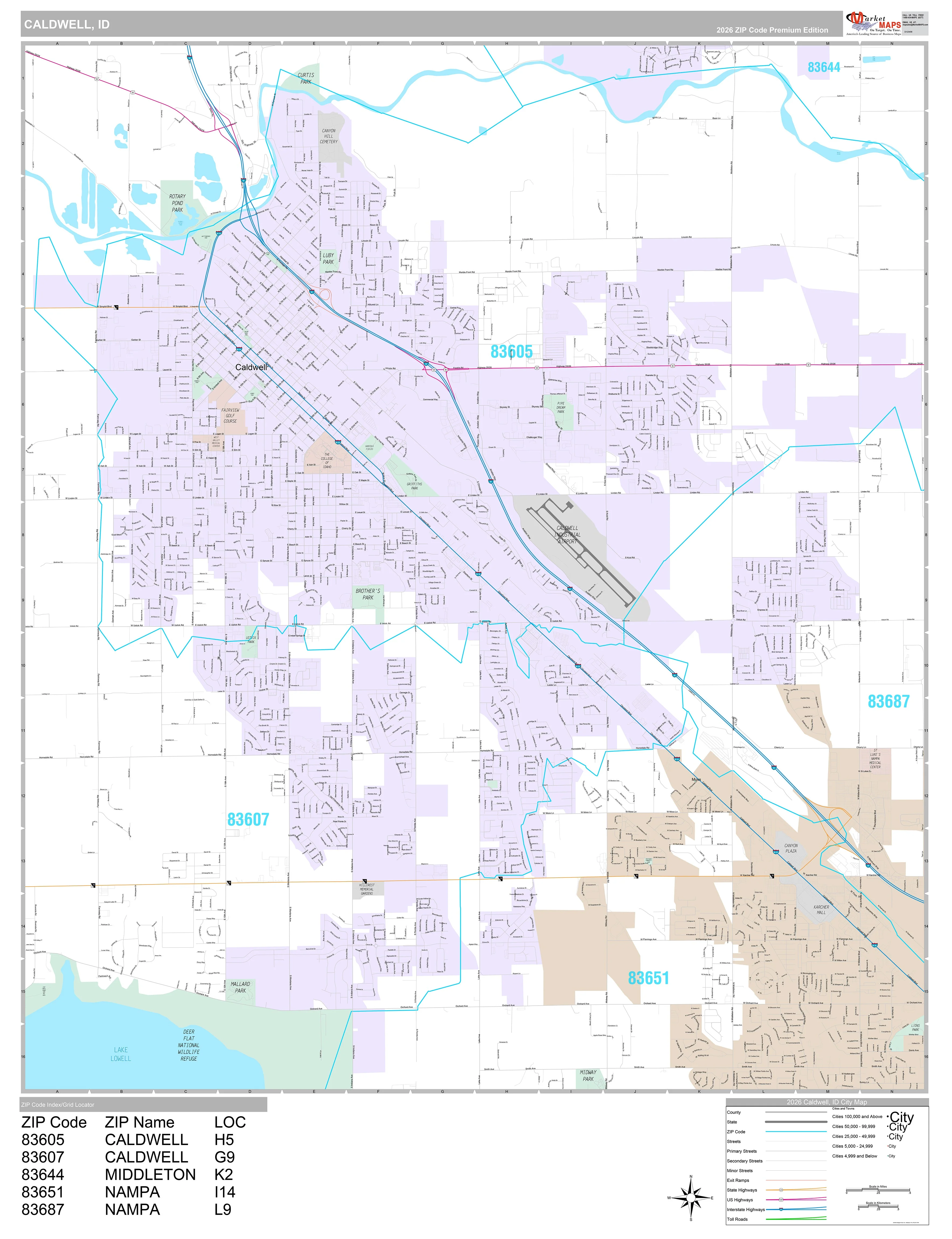
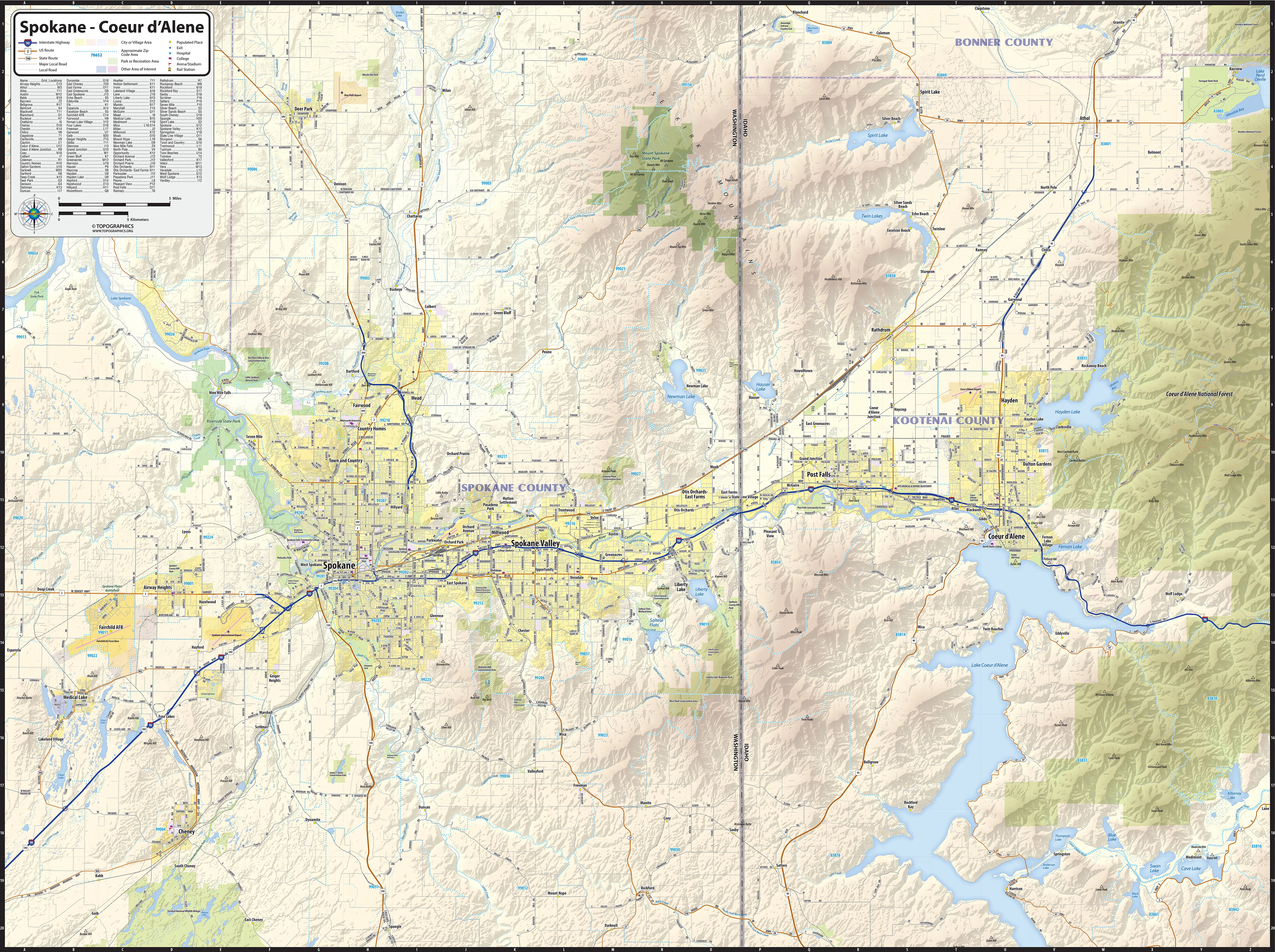
Laminated wall map of the Spokane - Coeur d’Alene area of eastern Washington and western Idaho. Features shown include cities, towns, counties, highways and major and secondary roads, zip codes, and major points of interest. Note: due to the vast extent of this map, local street names are not shown.
This map comes in a variety of sizes and finishing options. It is shipped rolled in a sturdy cardboard tube.
Select Size
Select Material
From $27.98
Original: $79.95
-65%Spokane Coeur d'Alene Area Wall Map—
$79.95
$27.98Description
Laminated wall map of the Spokane - Coeur d’Alene area of eastern Washington and western Idaho. Features shown include cities, towns, counties, highways and major and secondary roads, zip codes, and major points of interest. Note: due to the vast extent of this map, local street names are not shown.
This map comes in a variety of sizes and finishing options. It is shipped rolled in a sturdy cardboard tube.