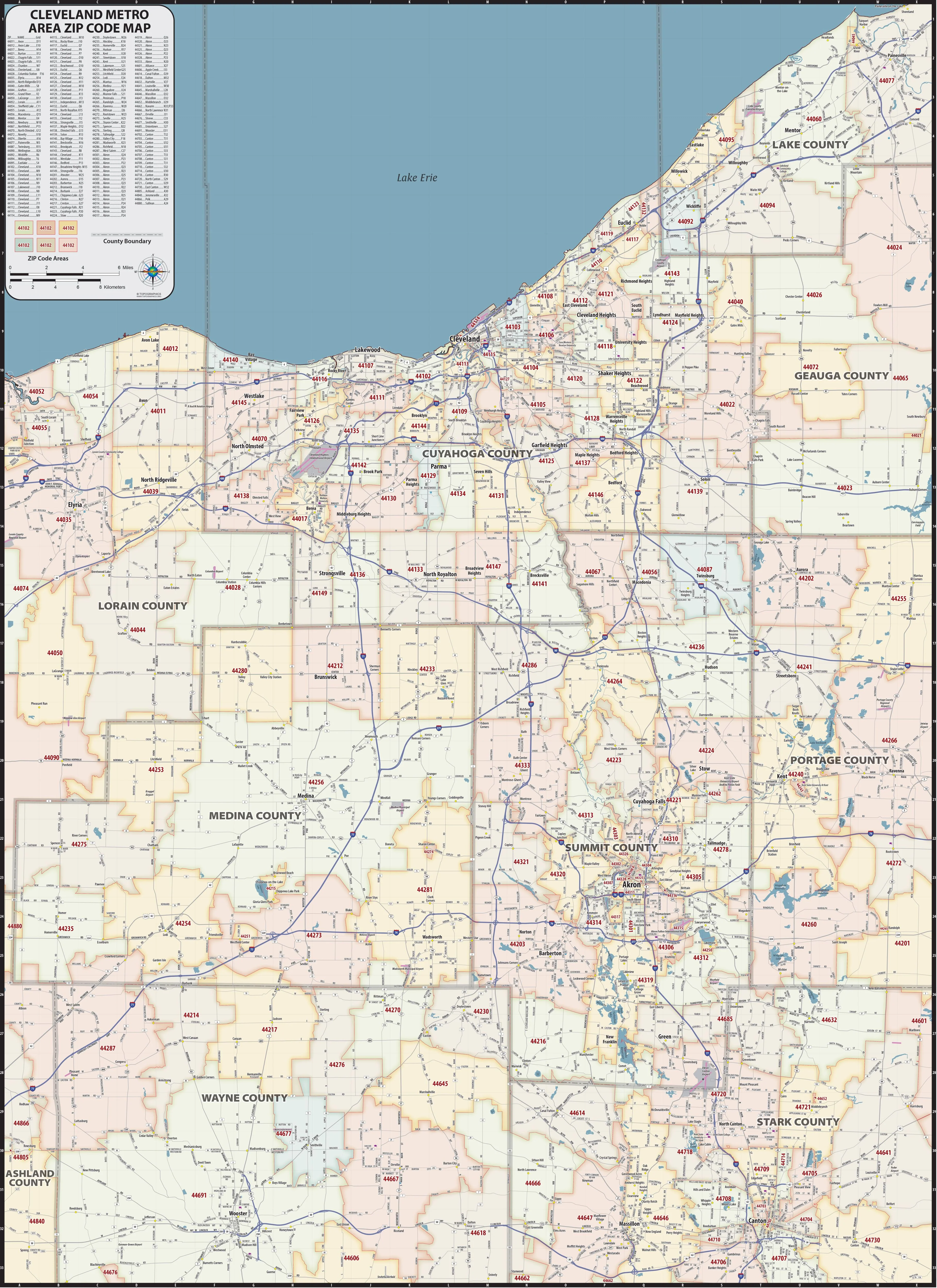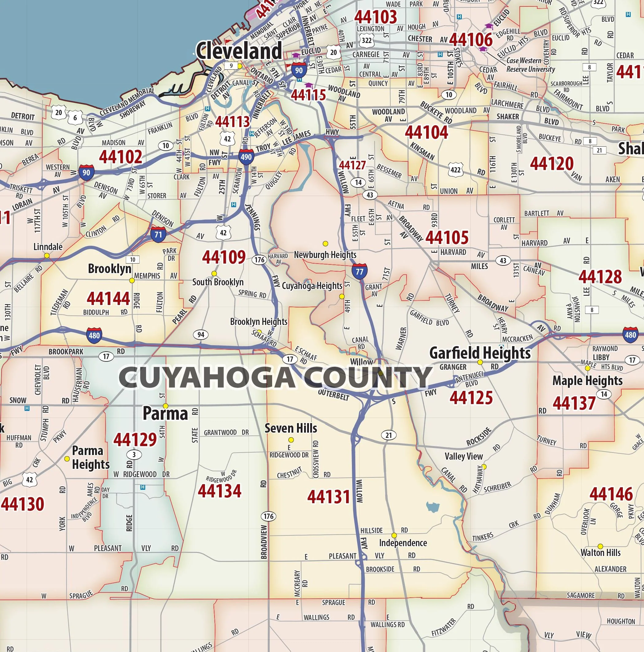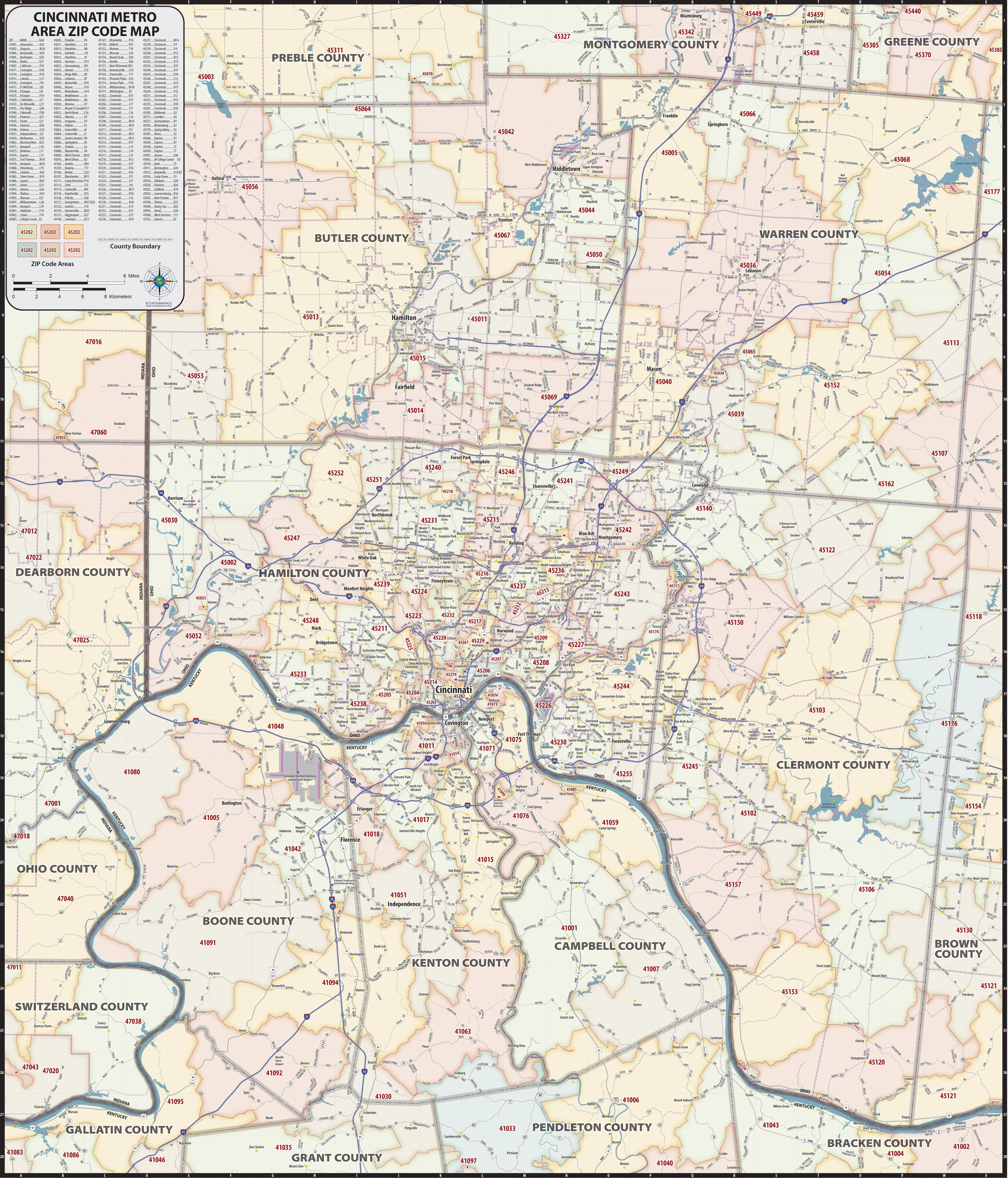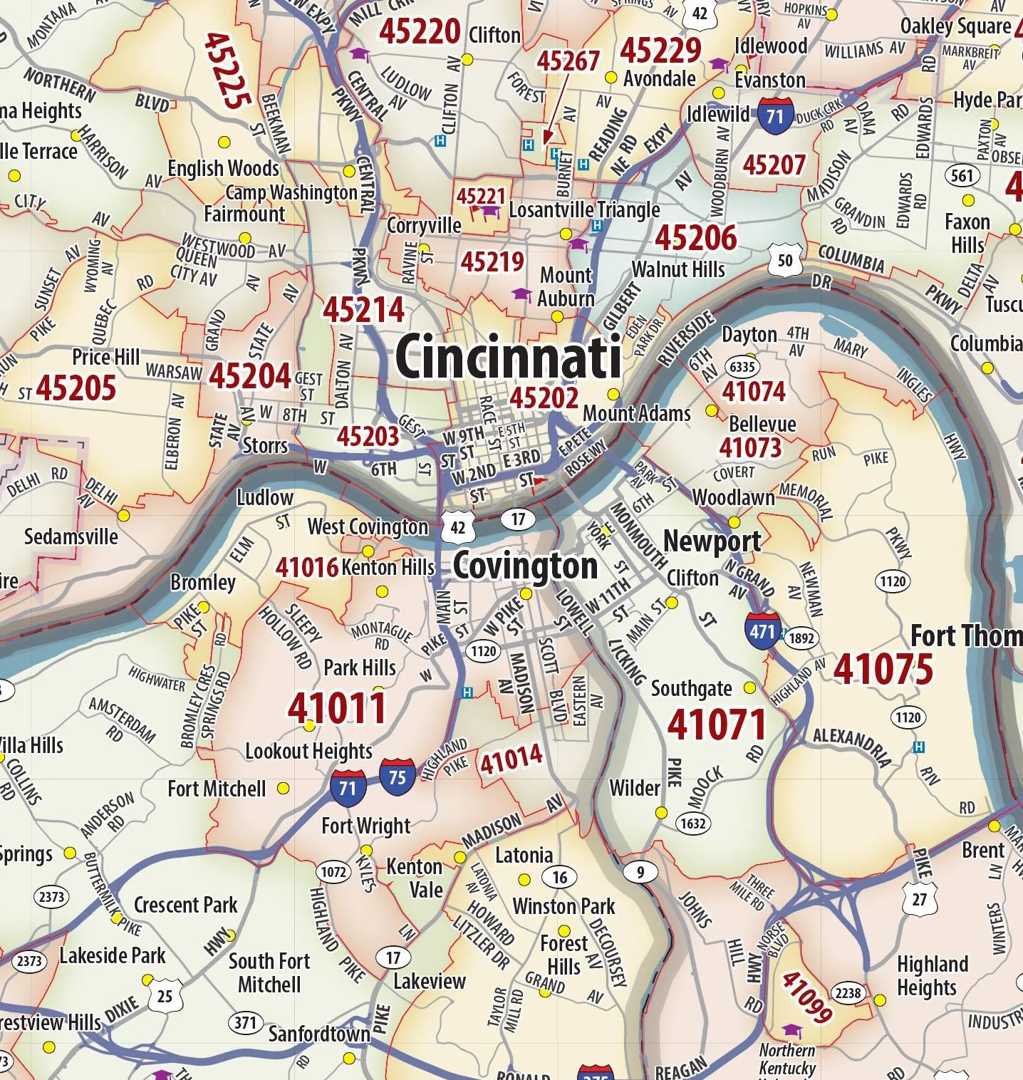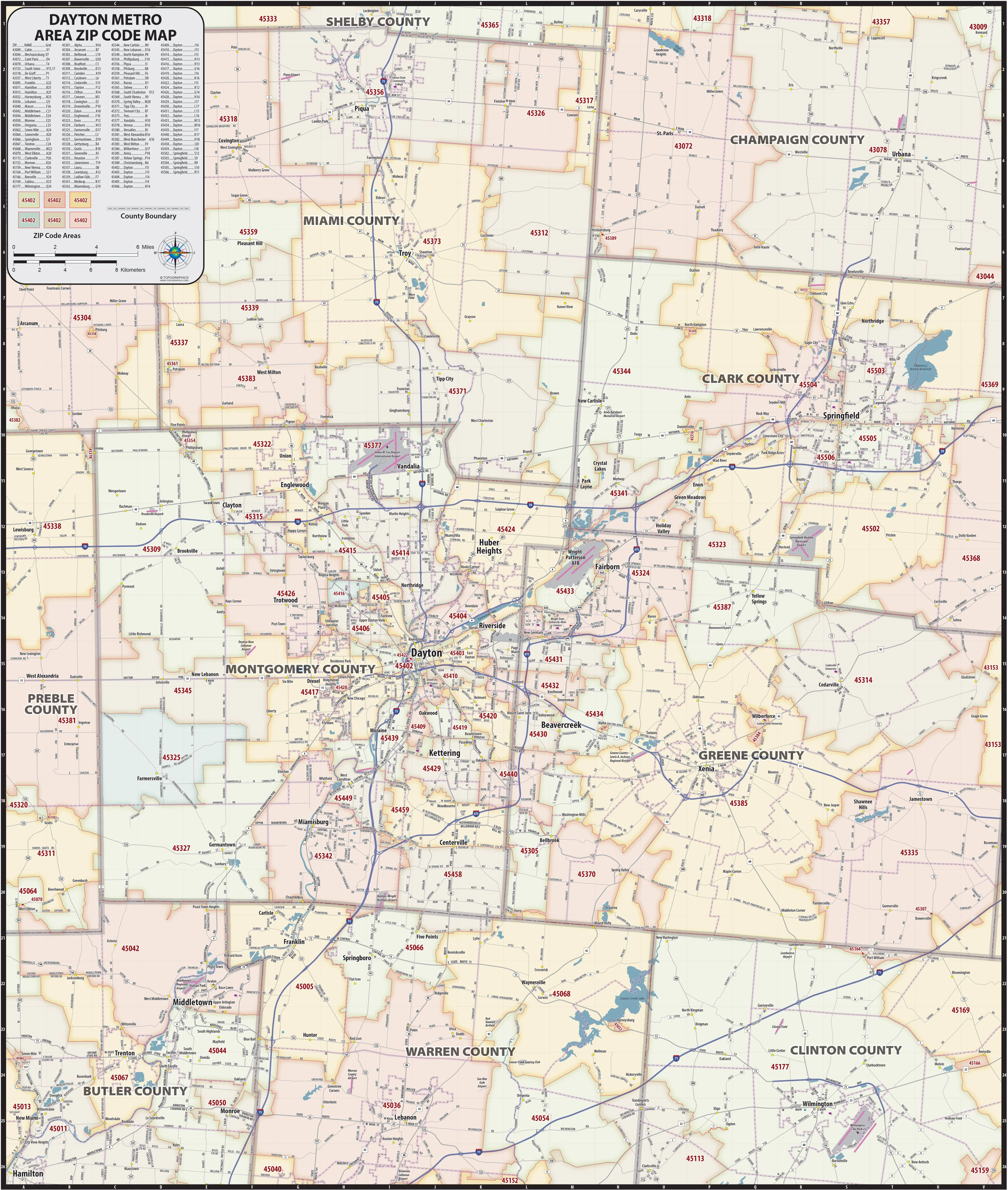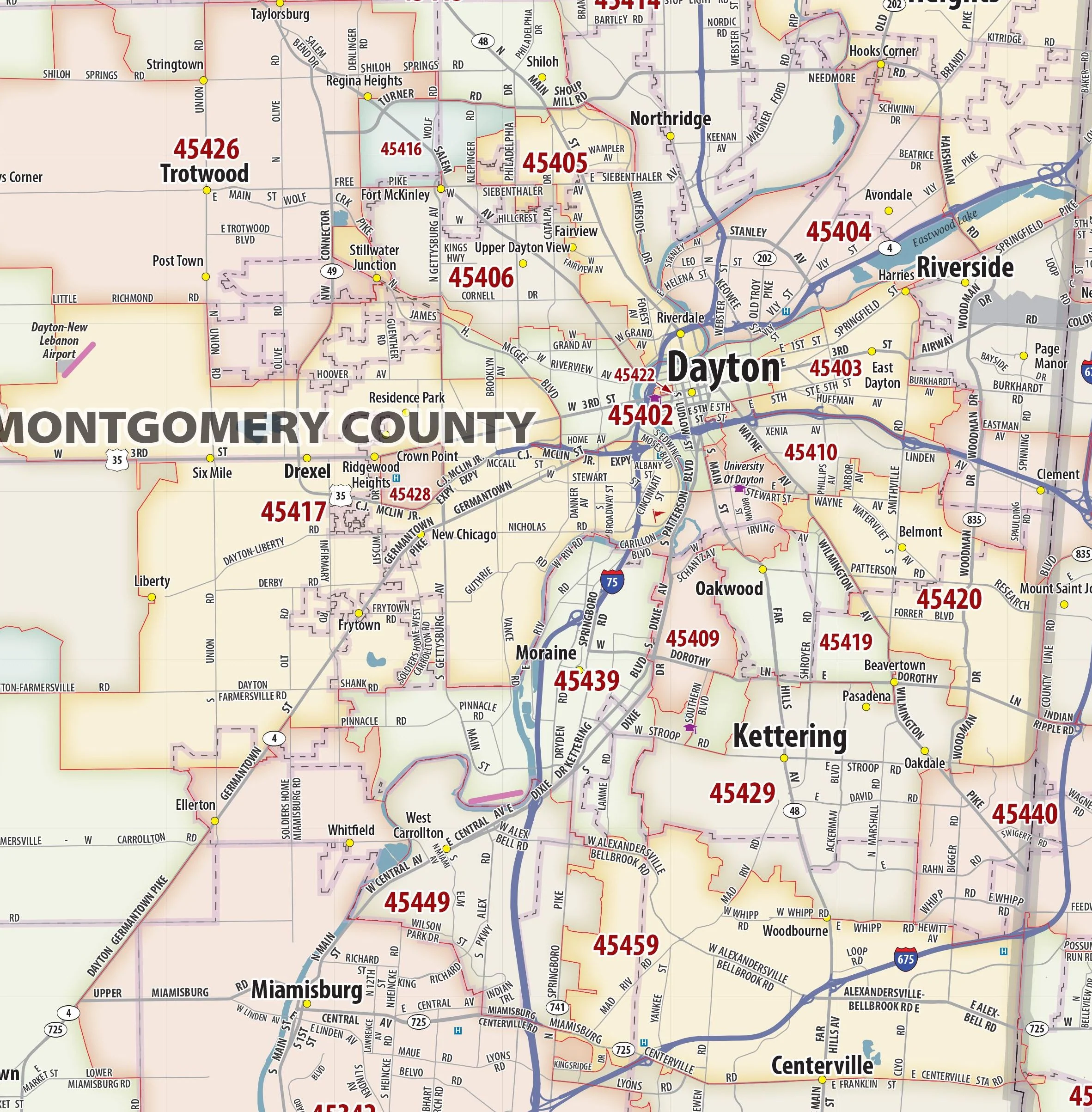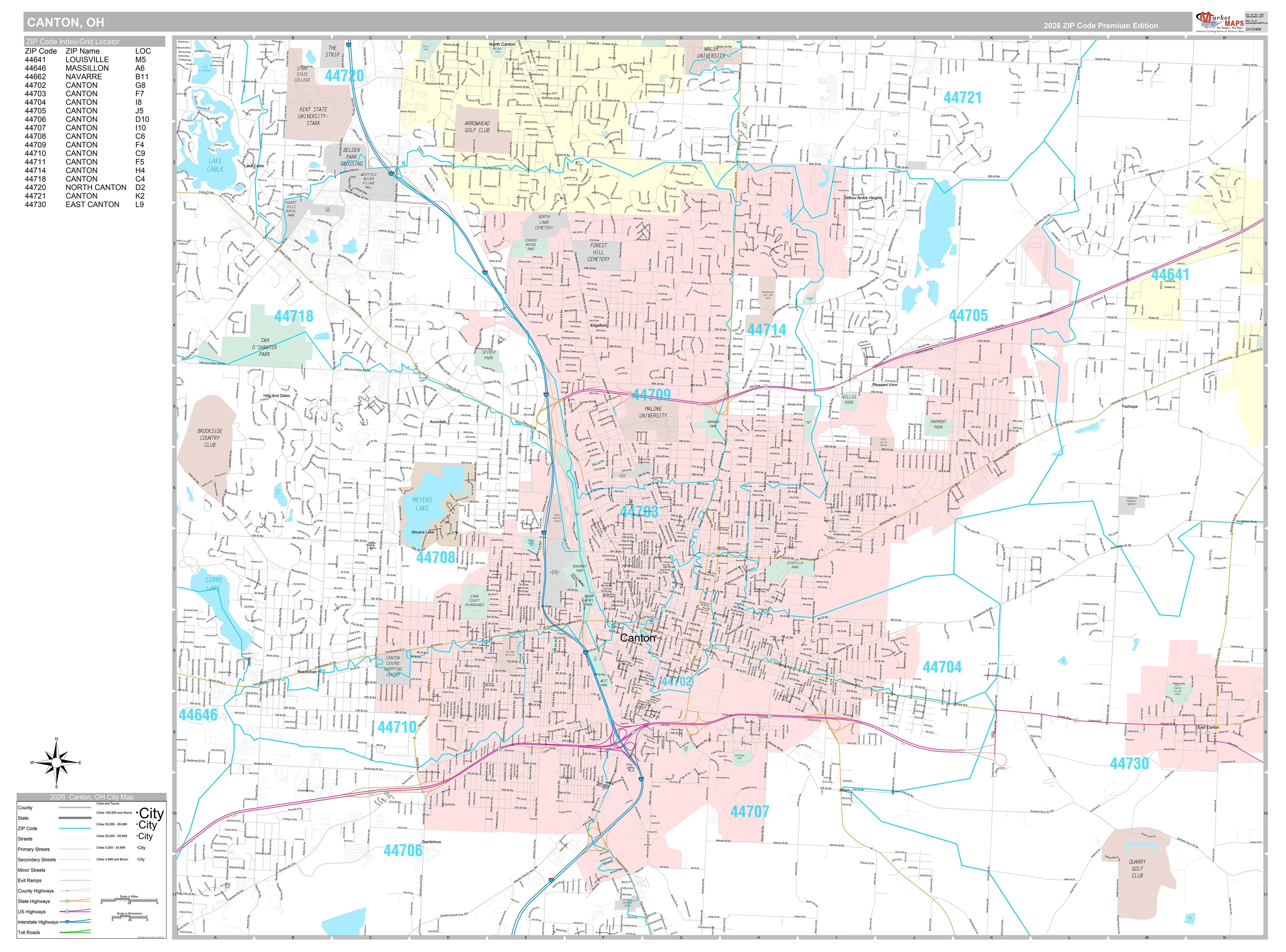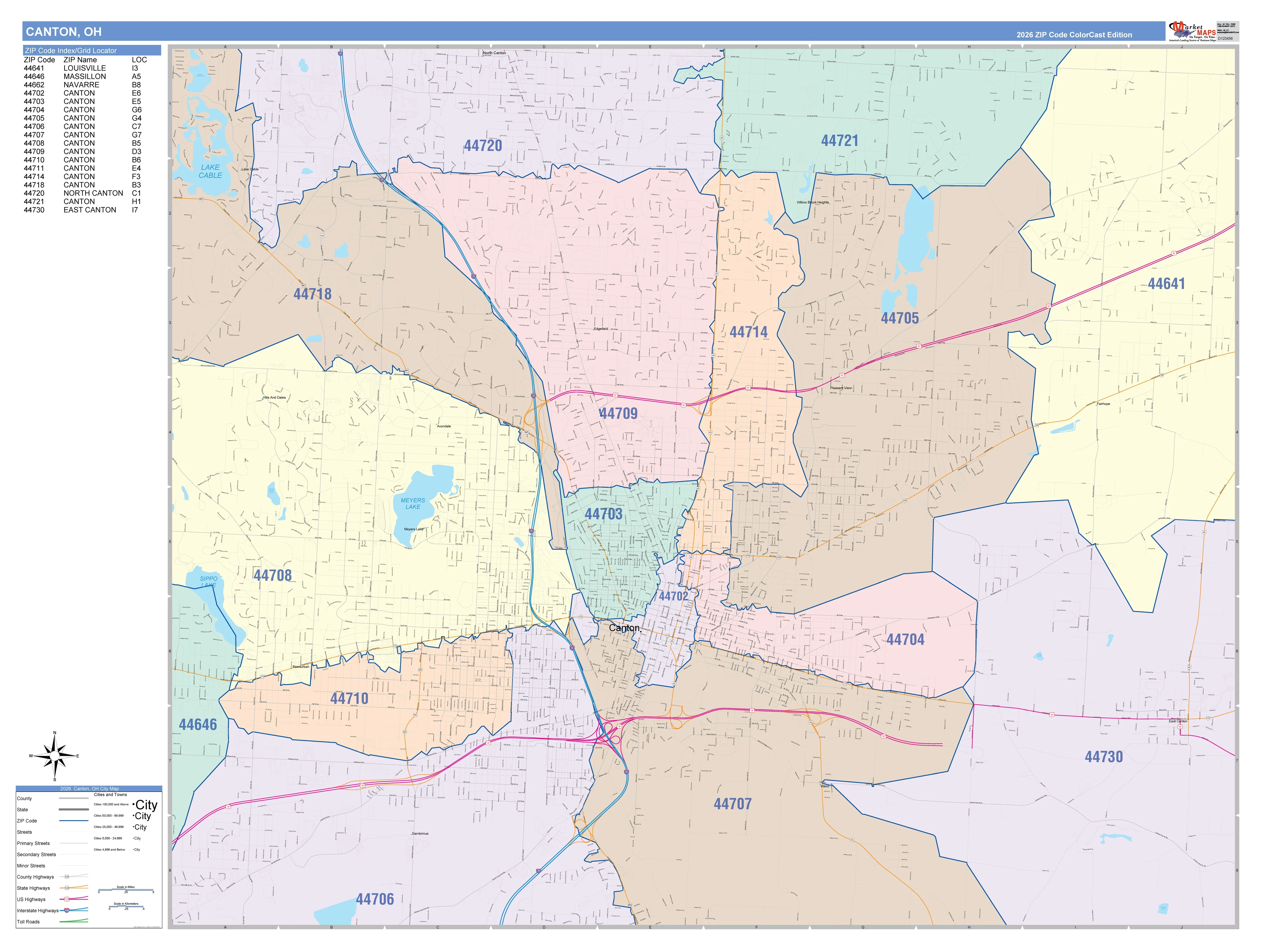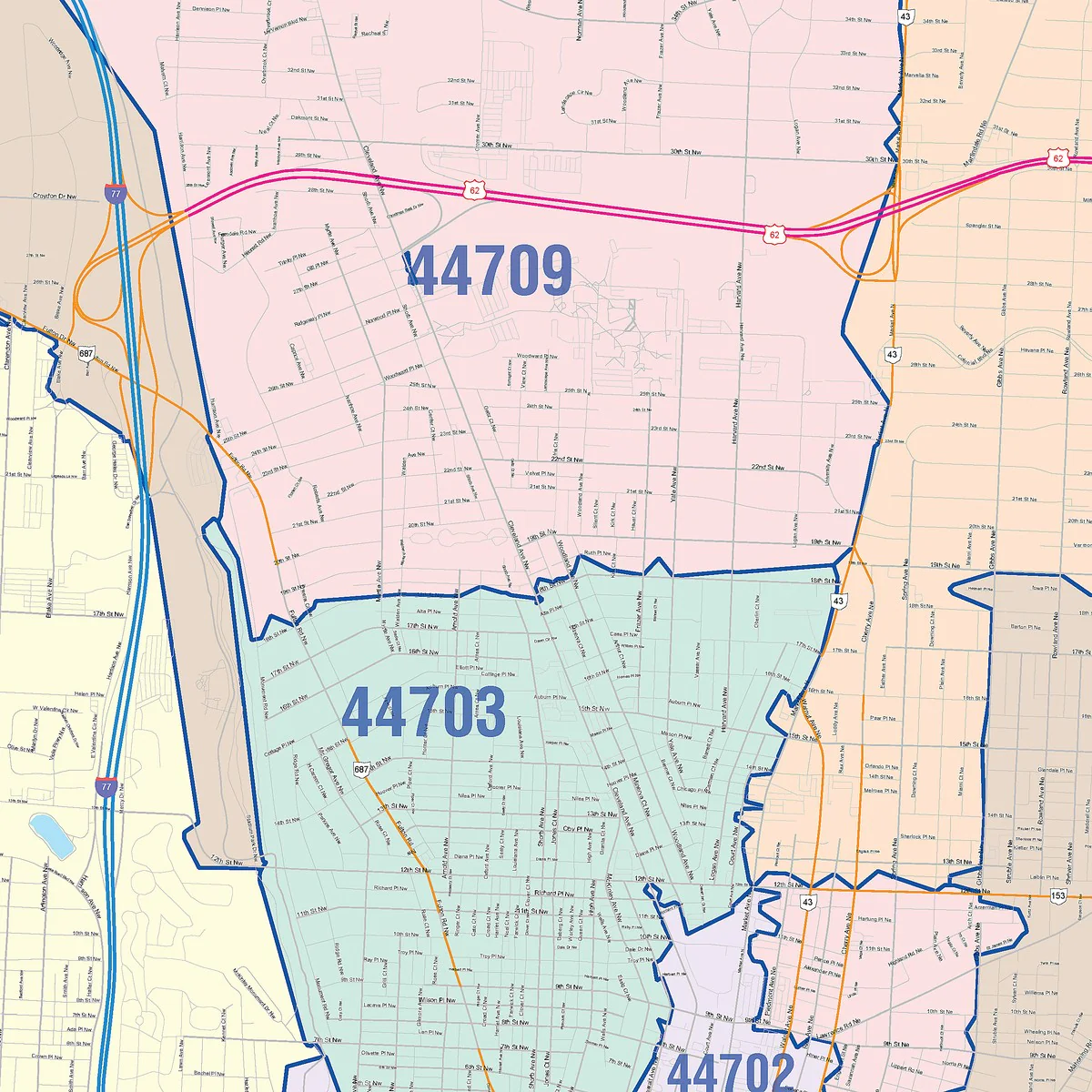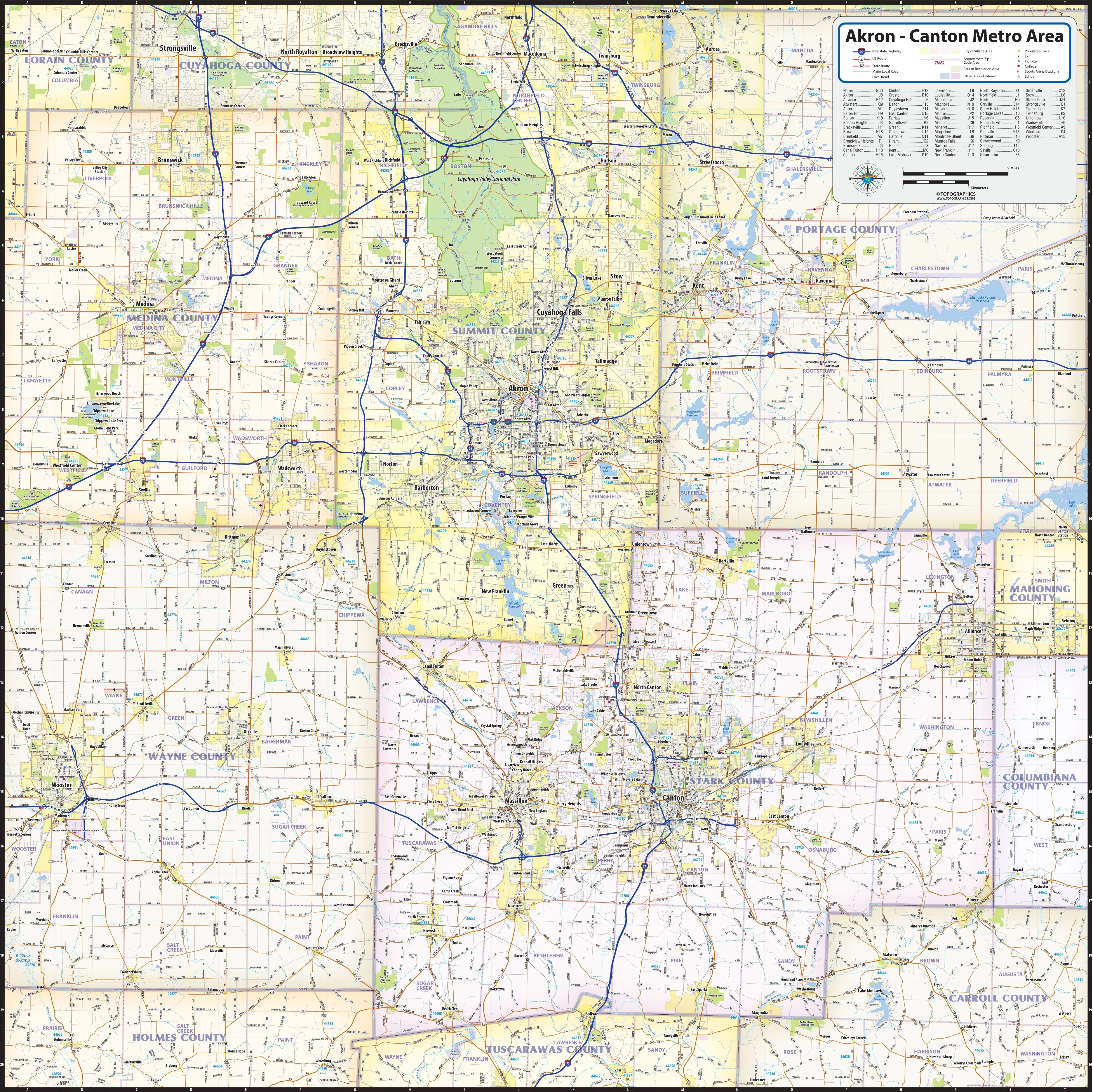
Akron - Canton Metro Area
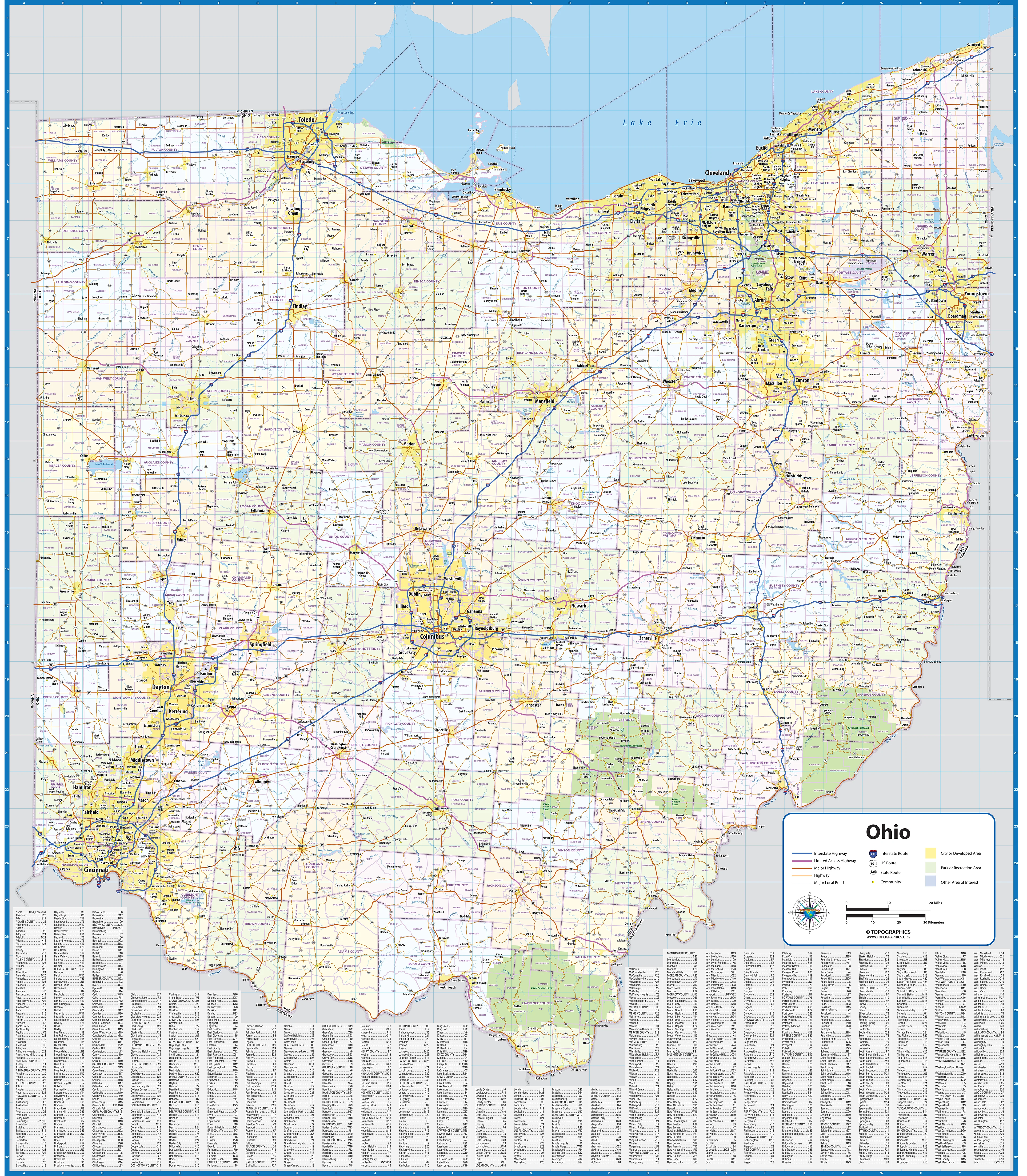
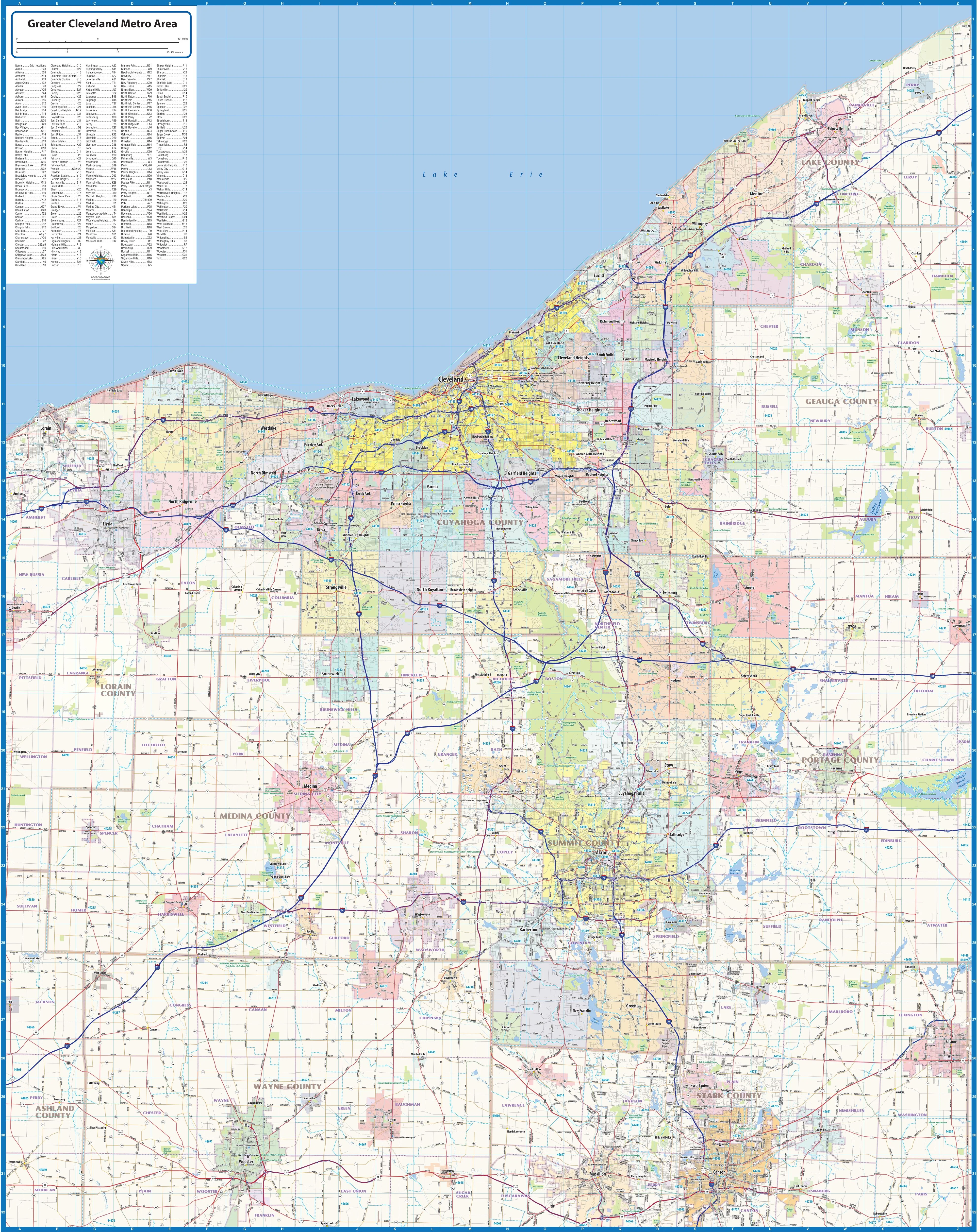
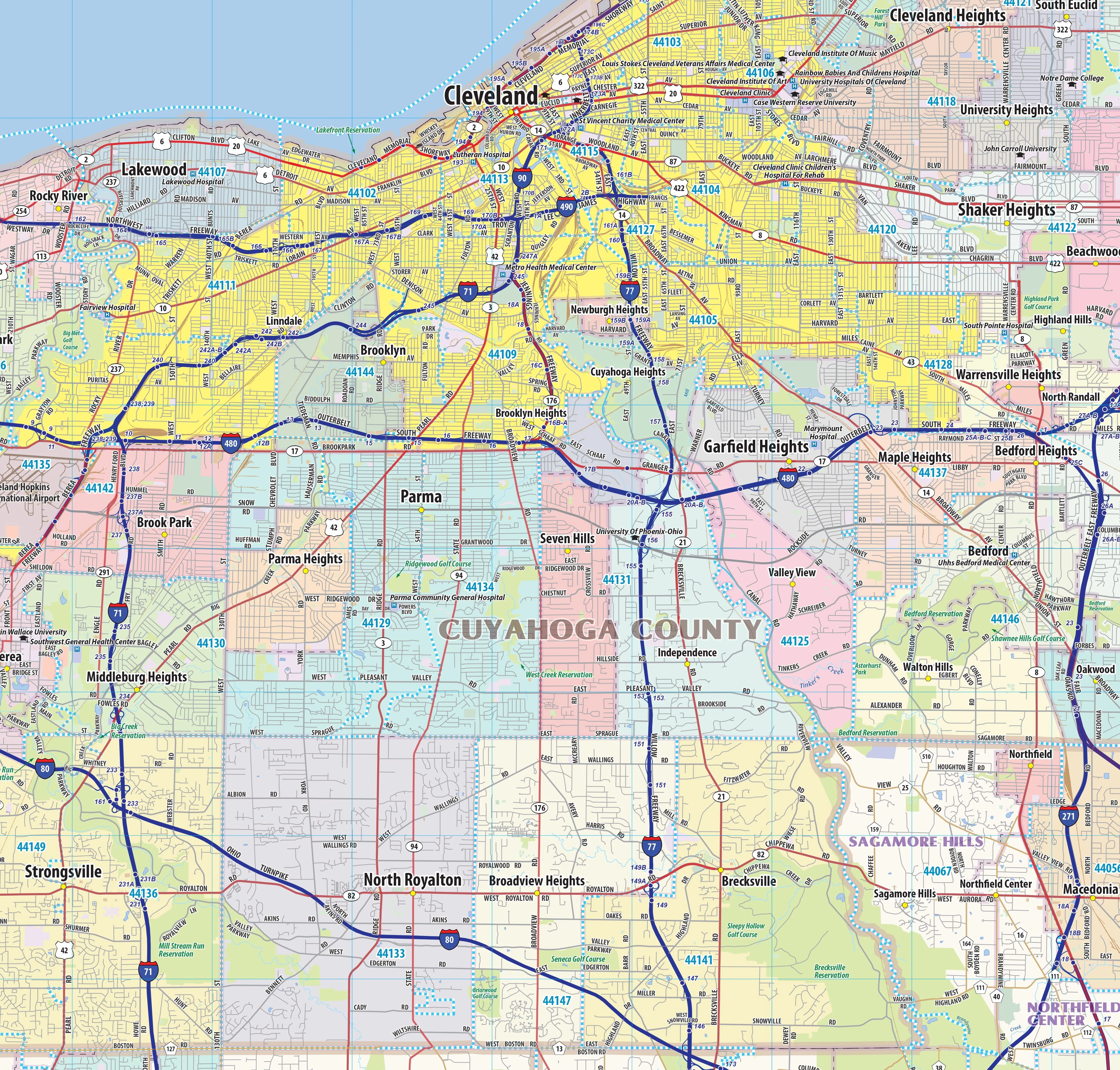
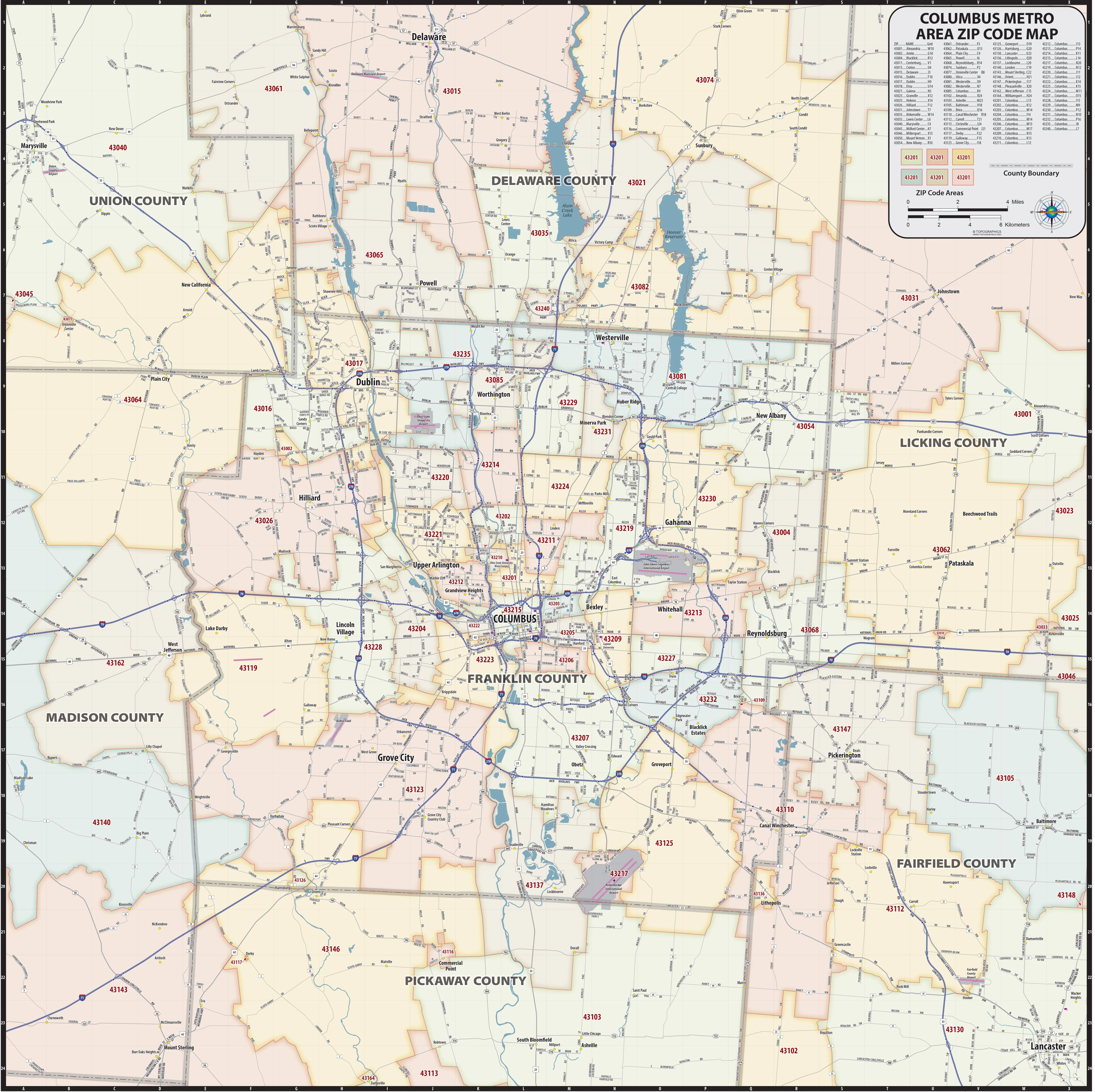
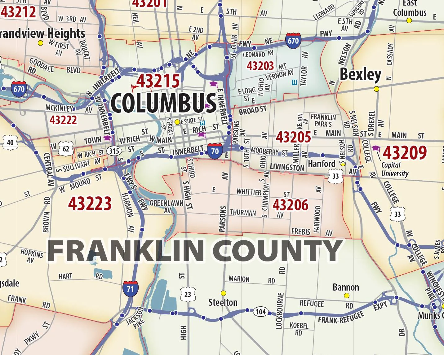
Our Akron - Canton Metro Area laminated wall map shows a 50 mile wide by 50 mile high area centered on the Akron - Canton Ohio area. Also shown are the communities of Cuyahoga Falls, Kent, Ravenna, Alliance, Green, North Canton, Massillon, Wooster, Wadsworth, Barberton, and Medina, among others. Features shown include cities, towns, counties, highways and major and secondary roads, zip codes, and major points of interest.
This map comes rolled and ships in a sturdy cardboard tube.
Original: $79.95
-65%$79.95
$27.98Description
Our Akron - Canton Metro Area laminated wall map shows a 50 mile wide by 50 mile high area centered on the Akron - Canton Ohio area. Also shown are the communities of Cuyahoga Falls, Kent, Ravenna, Alliance, Green, North Canton, Massillon, Wooster, Wadsworth, Barberton, and Medina, among others. Features shown include cities, towns, counties, highways and major and secondary roads, zip codes, and major points of interest.
This map comes rolled and ships in a sturdy cardboard tube.